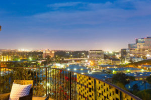
Westchester is a neighborhood in Los Angeles and the Westside Region of Los Angeles County, California. It is home to Los Angeles International Airport, Loyola Marymount University, Otis College of Art and Design, and Westchester Enriched Sciences Magnet Schools, (formerly Westchester High School). The main part of Westchester is flanked by Playa Vista and Culver City on the north, Inglewood and Lennox on the east, Hawthorne on the southeast, Del Aire and El Segundo on the south and Playa del Rey on the west. It includes all of the Los Angeles International Airport. There is also a two-block-wide shoestring district that runs from the intersection of Centinela Avenue and La Cienega Boulevard north to 63rd Street and then east to Overhill Avenue, where it links with the Hyde Park neighborhood.
The main neighborhood’s boundary lines are, generally, on the east: north-south on La Cienega Boulevard or the Inglewood city line; on the south: east-west on the city boundary with El Segundo or Imperial Highway; on the west: north-south on Pershing Drive and Westchester Parkway, then roughly north-south on a series of residential streets west of Westchester High School to the Playa Vista neighborhood.
Sorry we are experiencing system issues. Please try again.


